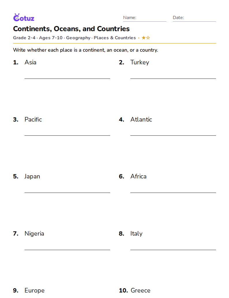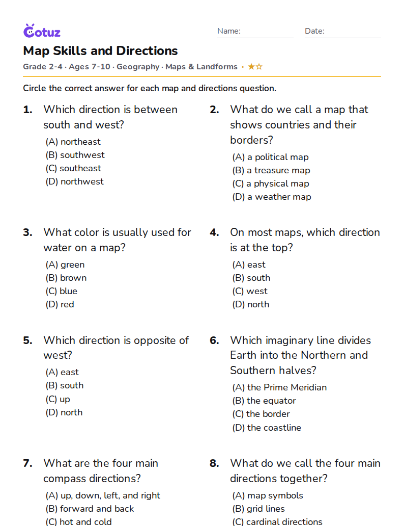
Countries of the World: Continents, Maps & Flags
By SUBSCRIBING to our channel you help us grow! Thanks! Ready for the Olympics? Practice with your kids the name and flags of Countries around the World with our Educational video for kids, kindergarten, children, toddlers and even adults. Revisions to the Map: * In the global Europe Map, it shows Czechoslovakia as 1 country in color blue, but on January 1, 1993, Czechoslovakia split into two independent states, the Czech Republic and Slovakia. *Kaliningrad is also a part of Russia. Detached from the rest of the country, it lies between Poland and Lithuania. Learn about each CONTINENT: AMERICA: https://youtu.be/isl8HWRit48 EUROPE: https://youtu.be/7v8w0enSksI AFRICA: https://youtu.be/rT9PVCZJXfE ASIA: https://youtu.be/OgdT2VOCGZM AUSTRALIA: https://youtu.be/S5YRlqjL3Wg Credits: Special thanks to illustrator: Asantosg. #learncountries #learnflags #flagsforkids #countriesandflags
How it works
- Press play to start the video.
- Videos 5 minutes or longer pause once or twice for a quick check. Get it right and you're on your way. If not, you'll see a friendly explanation and the video simply keeps going. Short videos skip the checks.
- At the end there's a 4-question test. Score 60% or more to complete the lesson, and 80% or more to master it. You can always watch again and try for a higher score.